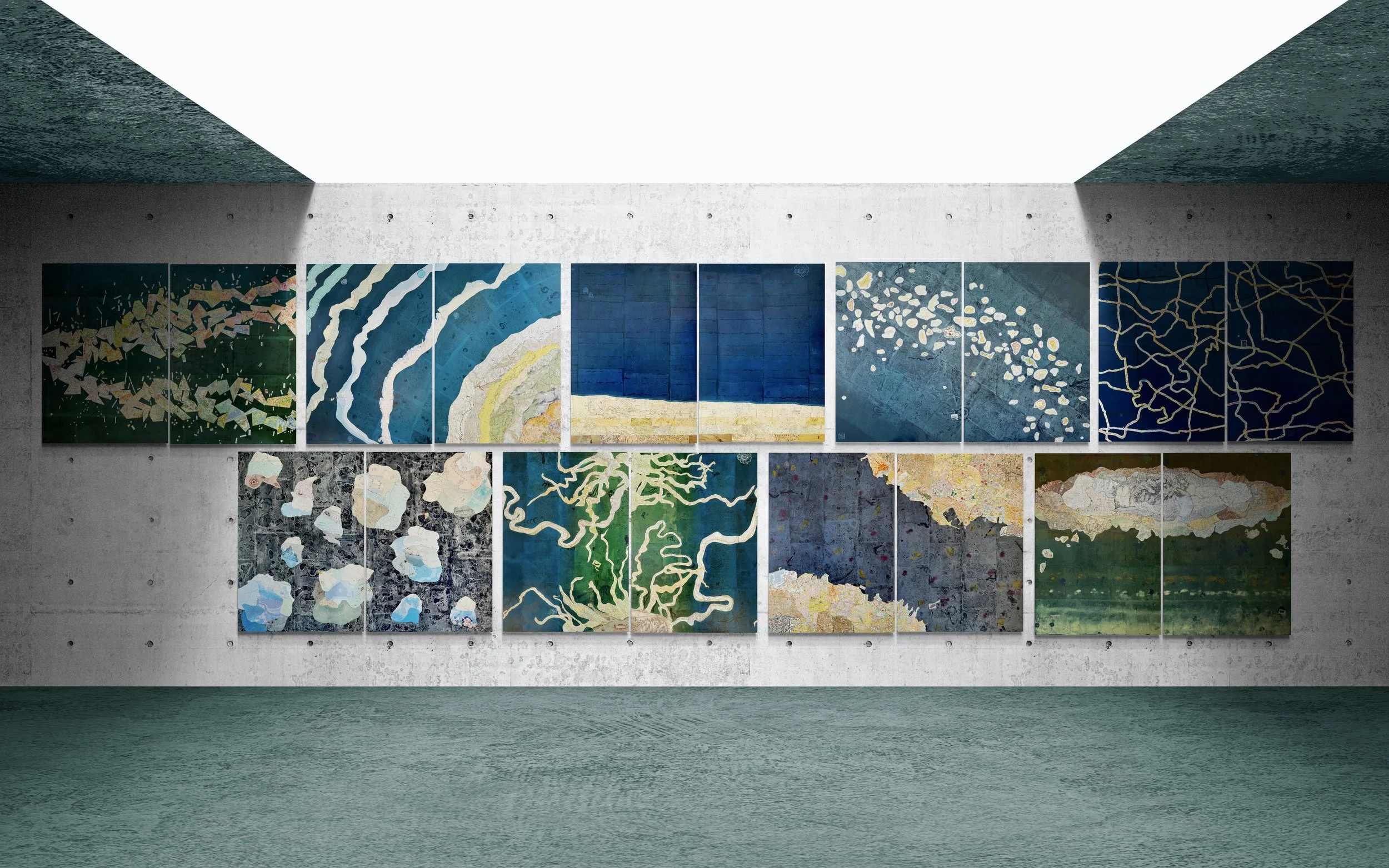
SEAmaps
ATLAS OF FORMS
Atlas
of F
orms
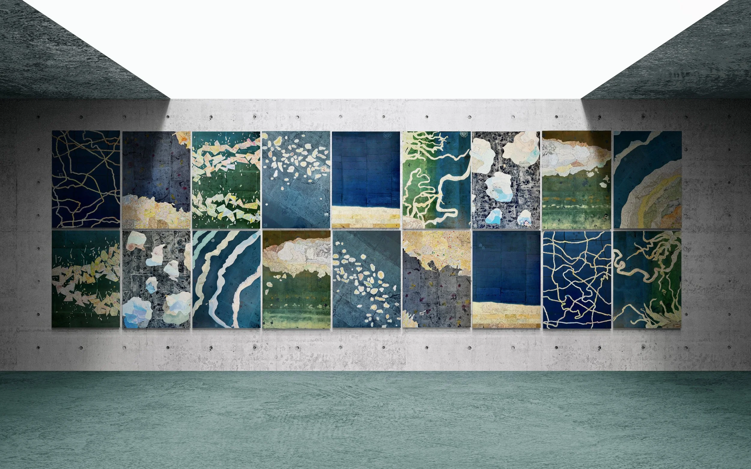
720 x 220 cm / 283 x 87 in
2026
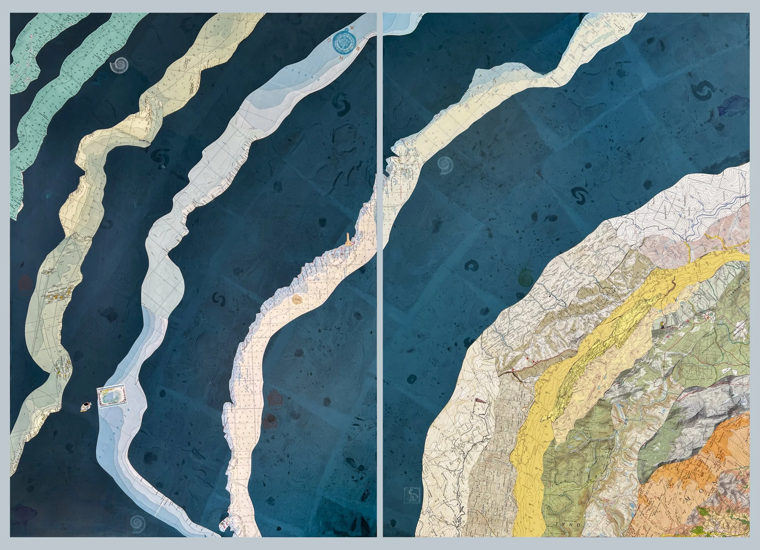
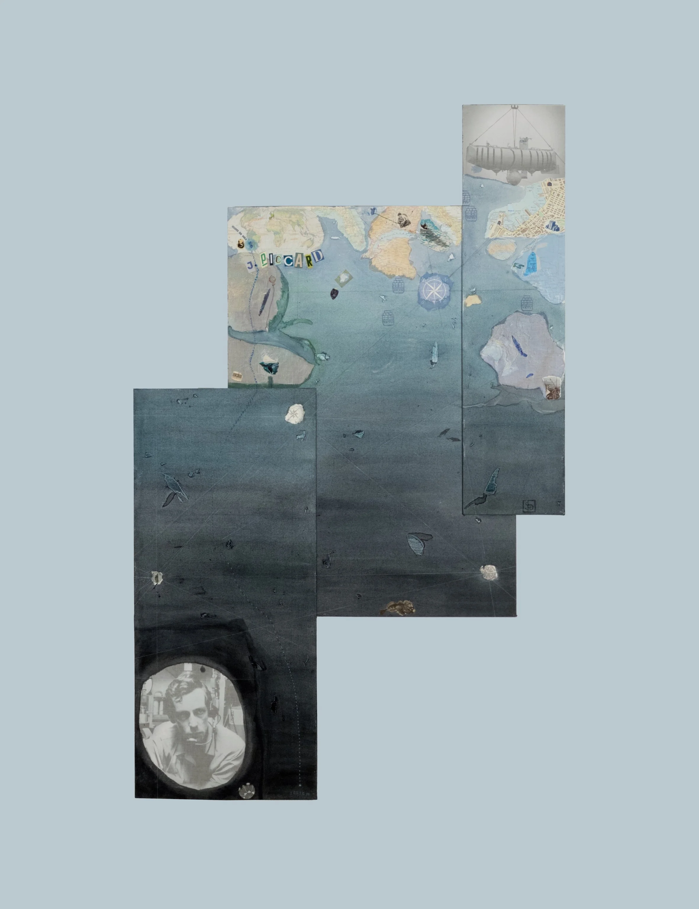
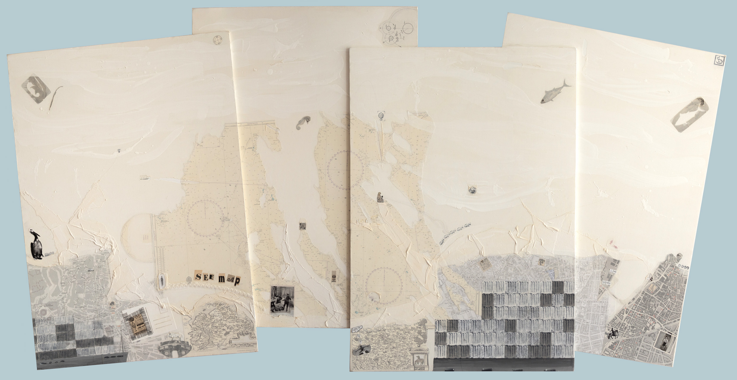
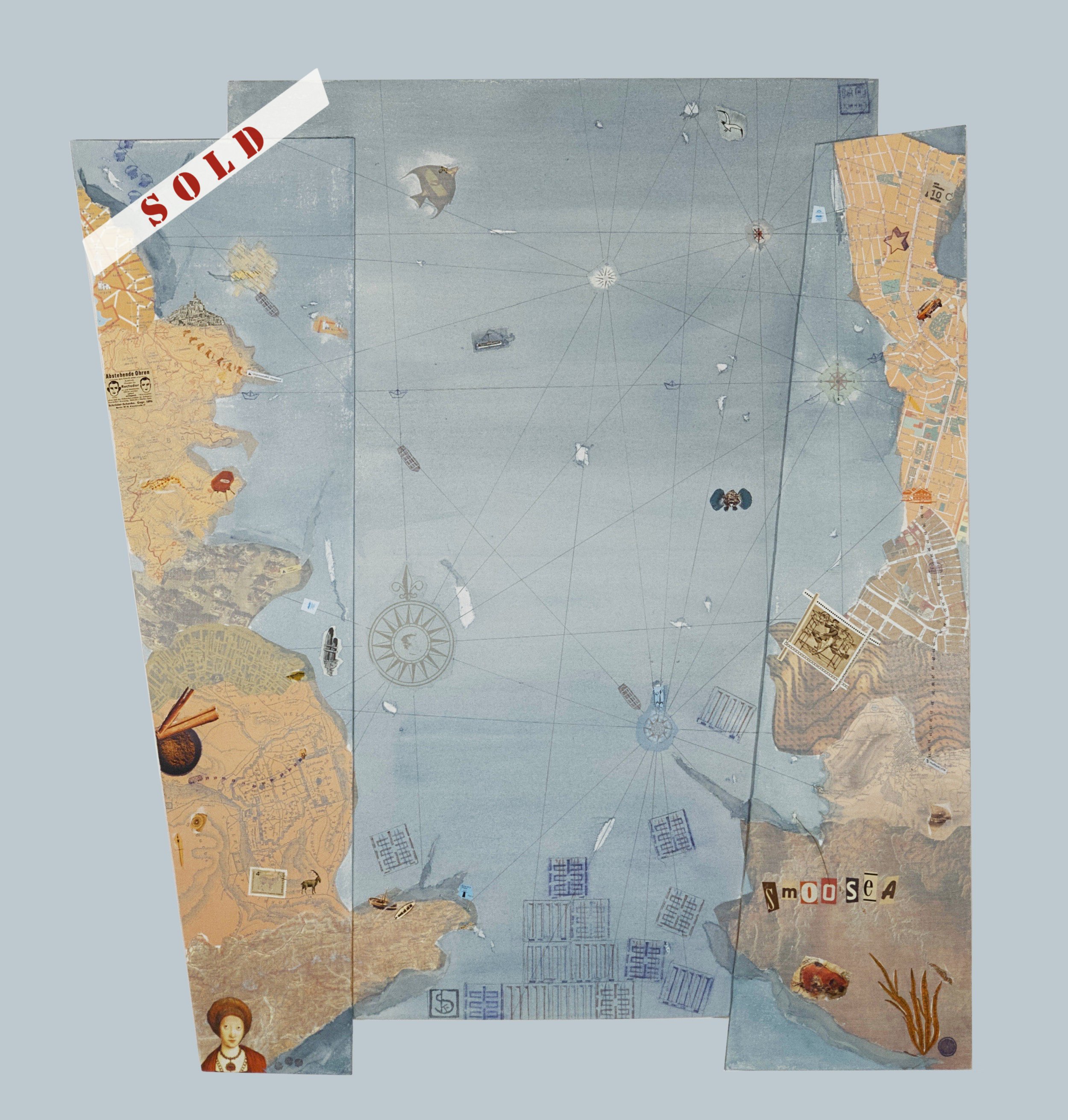
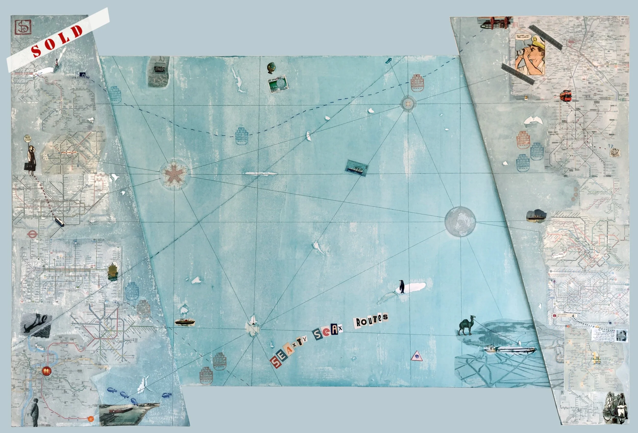
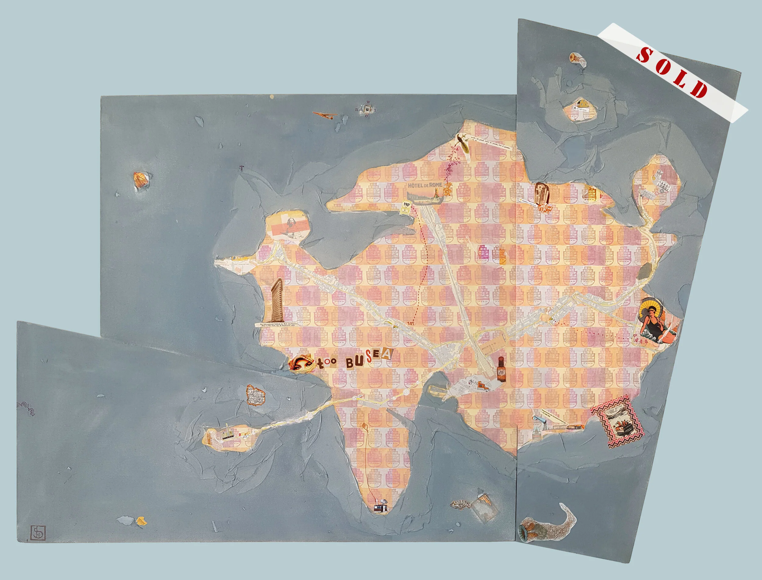
Maps are already interpretations of the Earth. They present landscapes, waters, and cities from the distance of a bird’s-eye perspective and translate them into lines, colors, and symbols.
In these nine works, I select individual elements from cartographic representations and remove them from their original context. Mountains, rivers, islands, streets, and cities become independent motifs. The visual codes of industrial and economic maps, the surfaces of oceans and waters, and the rhythmic lines of contour maps also come into focus.
Through the principle of collage, new compositions emerge in which cartographic fragments condense into independent visual worlds. What once served as a tool for orientation becomes the subject of aesthetic contemplation.
The works in this cycle open a new perspective on maps — and therefore on our perception of the world. Instead of a broad overview, a kind of magnification of vision appears: a concentration on details, lines, and structures.
In this way, the map itself becomes a landscape. And the abstract signs with which we describe the Earth transform into poetic forms of a new way of seeing.